
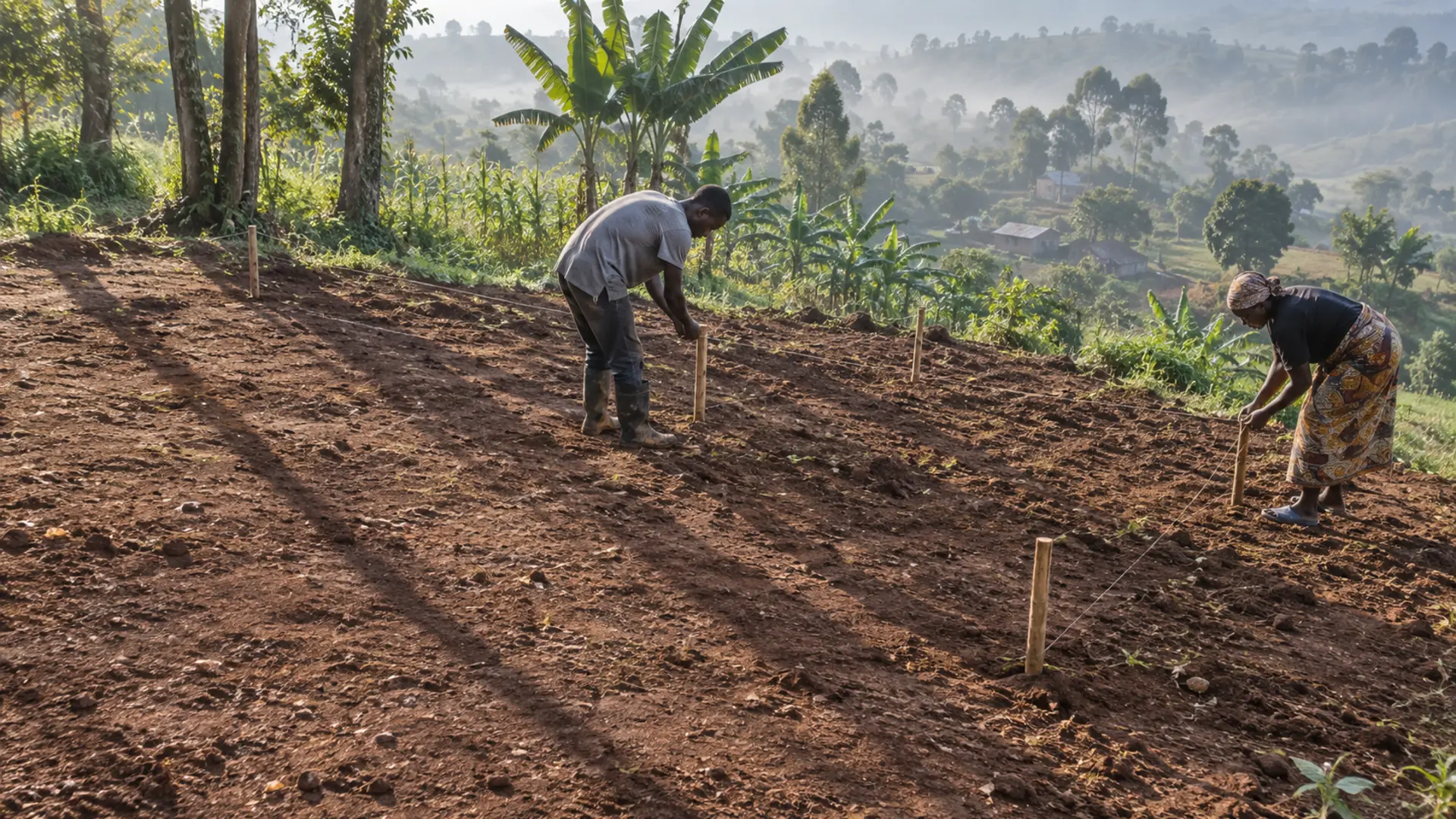
The greenhouse usually ends up wherever there happens to be space. Next to the house, because that is the flat bit. Below the cattle kraal, because the slope was already cleared. Twenty metres from a line of mature trees, because nobody thought about where the shadow would be at four in the afternoon.
Then the structure is up, and every one of those decisions is permanent. You can change the crop, the film and the irrigation. You cannot move a greenhouse without dismantling it, and almost nobody does. This guide is about the half day of walking that comes before the first hole is dug.
What this guide helps you decide
By the end you should be able to answer four questions about your own land: which candidate spot scores best across eight criteria you can check yourself; which way the ridge should run; how far the structure needs to sit from your trees, buildings and boundary; and whether the site you had in mind should be rejected outright.
It does not cover what the structure is made of, which is the subject of the companion guide on frame design, and it does not cover ventilation sizing.
The short answer
On a plot near the equator, run the ridge north to south, not east to west. Put the structure on ground that is nearly level but not flat, with a fall of roughly one in one hundred to one in two hundred so water leaves the site. Keep it out of any hollow. Keep it clear of the shadow that trees and buildings cast in the early morning and late afternoon, not just at noon. Put it close enough to a water point that you are not carrying water, and close enough to a track that a vehicle can reach it and turn around.
Everything after this section is how to check those things on your own ground rather than taking them on trust.
Why the standard orientation advice is usually wrong here
Search for greenhouse orientation and you will land on guidance that says run the ridge east to west. That advice is real, and it is also not for you.
The most widely circulated version of it comes from FAO’s guidance for Mediterranean climate areas, which reasons from a latitude of around thirty-seven degrees north, where a ten degree roof slope transmits roughly thirteen per cent more light on an east to west ridge during winter. The whole argument rests on a low winter sun sitting in the southern sky for months at a time. Uganda has no such winter and no such sun angle.
The guidance written for tropical latitudes says the opposite. FAO’s structural textbook for East and South-East Africa states that within tropical latitudes it is desirable to orient the greenhouse ridge north and south, to reduce overall shading by the framing members. Near the equator the sun rises close to due east, passes almost overhead, and sets close to due west, all year. With an east to west ridge the shadow of the ridge and the roof framing lies along the crop rows for much of the day. With a north to south ridge that same shadow sweeps quickly across the rows instead of sitting on them.
A second, separate rule gets mixed up with this one. The same FAO textbook says that for ordinary farm buildings in the tropics an east to west axis is generally recommended, because it limits how much sun hits the long walls. That is a wall heat rule for solid buildings, not a greenhouse ridge rule, and applying it here gets you the wrong answer.
Walk the plot three times, not once
A site looks different at seven in the morning, at one in the afternoon and at five in the evening. Most siting mistakes are made by people who looked once, in the middle of the day, when nothing was casting a shadow. Do this on a day when you have no other business on the farm.
First walk, shortly after sunrise. Mark where the shadows fall. Trees east of your candidate spot will shade it now. Drive a peg at the shadow’s edge.
Second walk, around midday. Look at the ground rather than the sky. Where does the surface hold water after rain? Is there a hollow you had not noticed? Walk it in thin shoes if you can, because you feel a dip before you see it.
Third walk, late afternoon. Mark the shadows again, this time from anything to the west, and peg the edge. The area unshaded at both pegs is your usable envelope. It is almost always smaller than people expect.
Repeat the morning and evening walks a few months later if you can. The sun’s rising and setting points move north and south of due east and west through the year, and a tree that is harmless in March can shade you in July.
Slope, drainage and the hollow you should never build in
Authoritative guidance here is consistent and unusually specific. FAO’s tropical structures text recommends land that is nearly level and well drained, with a fall of one in one hundred to one in two hundred as ideal. FAO’s Mediterranean greenhouse guidance puts the slope across the width between zero and half a per cent, says it should never exceed one to two per cent, and states plainly that the location should not be in hollow land.
Flat is not the goal. Flat means water sits. A gentle, deliberate fall means water leaves.
The hollow rule deserves attention because the reason is not obvious. FAO’s frost protection guidance describes how cold air behaves: it is denser than warm air, so it flows downhill and accumulates in low spots much like water, and pools behind solid obstructions such as fences, hedgerows and buildings. Uganda is not a frost country at most altitudes, but the same physics governs cold, damp, still air settling around a structure at night, which in a highland site matters for condensation and disease. It is also why a solid wall or dense hedge on the downhill side can make a site worse.
The field test is simple. After heavy rain, go and look rather than reasoning from the contours. Standing water, a silt tide mark, or grass flattened in one direction all tell you where the water goes.
Clearance from trees, buildings and windbreaks
This is the question growers most want a number for, and the one the literature answers least directly.
What authoritative sources say is qualitative. FAO’s tropical structures text says greenhouses should be located in open areas with no shading from trees or buildings and with access to roads. FAO’s Mediterranean guidance says the position must avoid shadows from hills or neighbouring buildings. Neither gives a distance in metres, because the honest answer depends on the height of the obstacle and how far the sun swings at your latitude.
The nearest usable multiple comes from windbreak design, not greenhouse design. The United States Department of Agriculture’s windbreak establishment standard states that the protected zone on the leeward side extends ten times the maximum design height of the tallest tree row at twenty years. That is a shelter figure. It tells you how far wind protection reaches, not how far a greenhouse should sit from a tree line.
We are not going to convert it into a clearance rule it was never meant to be. Use the shadow pegs from your three walks instead. They are your site, your trees and your latitude, and they beat any borrowed multiple.
The tree question does settle one thing. Mature trees to the east and west are the problem, because that is where the equatorial sun is low. Trees due north or south cast comparatively little shadow onto the structure here, which is the opposite of the intuition temperate guidance gives people.
Wind, and the trap of over-sheltering
Uganda’s average wind speed is documented at about 3.7 metres per second, rising to around 6 metres per second near Lake Victoria, in Karamoja and in mountainous areas, according to a peer-reviewed assessment of Ugandan wind energy potential citing a 2007 survey. That paper is careful to note the measurements were taken below ten metres for weather prediction rather than for energy assessment, so treat them as indicative of the general picture rather than as a design load.
We could not verify a published prevailing wind direction for Uganda from the national meteorological authority. That is a real gap, and it means the direction you design around has to be the one you observe locally. Ask three neighbours which way the storms come from. They will agree, and they will be right.
The temperate instinct is to shelter the structure as much as possible. Resist it. FAO’s tropical structures text warns that while shelter from excessive wind is desirable, normal air movement is essential for natural ventilation. A greenhouse in the tropics is fighting heat, not cold. A solid barrier close on the windward side leaves you with a hot, still box, and pools cool damp air at night. Shelter at a distance, and shelter with something permeable.
Water, access and the things that cost you every single day
Two criteria on the scoring sheet are not about the crop at all. They are about the twenty years of walking that follow.
Water. FAO’s tropical structures text gives a figure for what a full greenhouse cropping system can consume: up to 8,400 cubic metres per hectare in a year, which is 840 litres per square metre. Scale that to your own floor area before deciding that carrying water is manageable. It usually is not. Water source development is covered in the published guide to on-farm water sources, and delivery method in drip, sprinkler and furrow irrigation.
Access. FAO’s guidance on external farm facilities gives the only concrete figures we could verify. A vehicle U-turn needs an area with a width equal to the outer turning diameter and a length equal to that diameter plus one vehicle length. A gate on an entrance drive should be at least ten metres and preferably twenty metres from the main road, so a vehicle can pull clear while the gate is opened. Measure it with a tape, using the largest vehicle that will ever collect your produce.
Distance from latrines and waste. This matters if your irrigation water comes from a shallow source on the same plot. The widely used humanitarian minimum is thirty metres between any pit latrine or soakaway and a groundwater source, with the pit base at least 1.5 metres above the water table, increased for fissured rock or limestone. Before treating thirty metres as safe, know what a 2023 peer-reviewed review of latrine siting guidelines found: the common guidelines rest principally on four field studies, all more than forty years old, in which contamination travelled twenty-five to fifty metres, while modelling suggests twenty-two to seventy-five metres depending on conditions. Treat thirty metres as a floor, not a guarantee.
What the site costs you, before anyone quotes a price
We are not going to give you shilling figures, because siting costs are determined entirely by your own ground and local rates. What we can give you is the list of cost categories a badly chosen site creates and a well chosen site avoids. Get a quotation for each before you commit.
- Land levelling or cut and fill, priced per cubic metre of soil moved
- Drainage works: a cut-off drain upslope, a soakaway or an outfall channel
- Water conveyance: pipe run from the nearest usable water point, plus any lift or pumping
- Access works: track formation, a turning head, a culvert at a crossing
- Tree removal or crown reduction, if you decide to clear rather than move
- Any wayleave or compensation if a pipe or track crosses land you do not control
A site that scores badly does not usually reveal itself as a bad site. It reveals itself as a series of small unbudgeted bills.
Common mistakes
Siting for the visitors. A greenhouse near the road is easy to show people. It is also often the wettest, dustiest and most exposed corner of the farm.
Using the flattest ground. The flattest ground is frequently the old wetland edge or the natural drainage line. Level and well drained are different things.
Measuring shade at noon. At noon almost nothing casts a shadow onto anything. The morning and evening shadows decide your envelope.
Applying temperate orientation advice. The single most common error in this subject, and worth repeating.
Leaving no room to extend. Growers who succeed want a second structure within three years. Those who sited tight against a boundary cannot have one.
Assuming water will be sorted out later. It will not be. Water is the constraint that most often turns a working greenhouse into an unused one.
Warning signs and escalation points
Stop and get a second opinion before building if any of these appear on your walk.
- Standing water anywhere in the footprint more than a few hours after rain
- A visible silt line, water-worn channel or flattened grass fan crossing the site
- Reeds, papyrus, sedges or other wetland vegetation growing on or beside the spot
- Ground that is soft underfoot in the dry season
- A slope steeper than a gentle fall, where you would need substantial cut and fill
- No route by which a vehicle can reach within carrying distance
- Any doubt about whether the parcel boundary is where you think it is
The last one is a different kind of problem and needs to be resolved before anything else. The published guide to verifying land title and tenure covers it.
Where this approach works, and where it does not
It works on a plot where you have a genuine choice between two or three candidate spots and the constraint is judgement rather than land.
It works less well in three situations. On a very small plot there may be only one possible location, so the scoring sheet becomes a list of problems to engineer around rather than a comparison. On rented or insecurely held land, the right decision may be not to build a fixed structure at all. And where the water table is high or the parcel sits in a seasonal wetland, no amount of orientation work fixes the underlying problem.
The evidence behind this guide also has honest limits. We could not verify Ugandan agro-climatic wind or rainfall data from the national meteorological authority, we found no MAAIF or NARO guidance specific to greenhouse siting, and the tropical orientation rule rests on a single authoritative source rather than several.
A low-risk first step
Before committing any money, peg out the exact footprint of the structure you intend to build, at full size, on your preferred spot. Use string and sticks, and leave it for two weeks through at least one heavy rain.
Walk past it every day. In a fortnight you will notice what an afternoon hides: that the footpath everyone uses cuts straight through it, that one corner floods, that the shadow arrives earlier than you thought, that a wheelbarrow cannot reach the far end. Moving string costs nothing.
What to do next
- Set aside one full day and walk your candidate spots at sunrise, midday and late afternoon, pegging the shadow edges each time.
- Fill in the site scoring sheet for two or three spots, scoring each criterion one to five. Do not skip the inconvenient criteria.
- Go back after the next heavy rain and look at the ground.
- Peg the full footprint on the winning site and leave it for two weeks.
- Measure the vehicle turning area with a tape.
- Get quotations for the six cost categories above, for the winning site specifically.
- Only then move to the structure itself, in the companion guides to choosing a greenhouse frame material and ventilation and cooling design.
If you have not settled whether a greenhouse is the right investment at all, read the greenhouse investment decision first. The published guide to planning a farm layout puts the structure in the context of the whole holding.
About the author
This guide was researched and written by the Falcon Foundation Ltd Editorial Team. Falcon Foundation Ltd is a privately owned Ugandan agricultural company producing greenhouse crops, livestock and honey. Our Knowledge Hub is written for Ugandan farmers making practical decisions with incomplete information, and we say plainly when the evidence does not exist rather than filling the gap with a plausible number.